 CERVUS — Aerial Herd Analytics — A Prop Culture service
CERVUS — Aerial Herd Analytics — A Prop Culture service
CERVUS — Aerial Herd Analytics — A Prop Culture service
We fly your land with a thermal drone, count every deer, and hand you a graded property report that reads like a wildlife biologist's plan — density, buck-to-doe structure, behavior corridors, and the map to prove it.
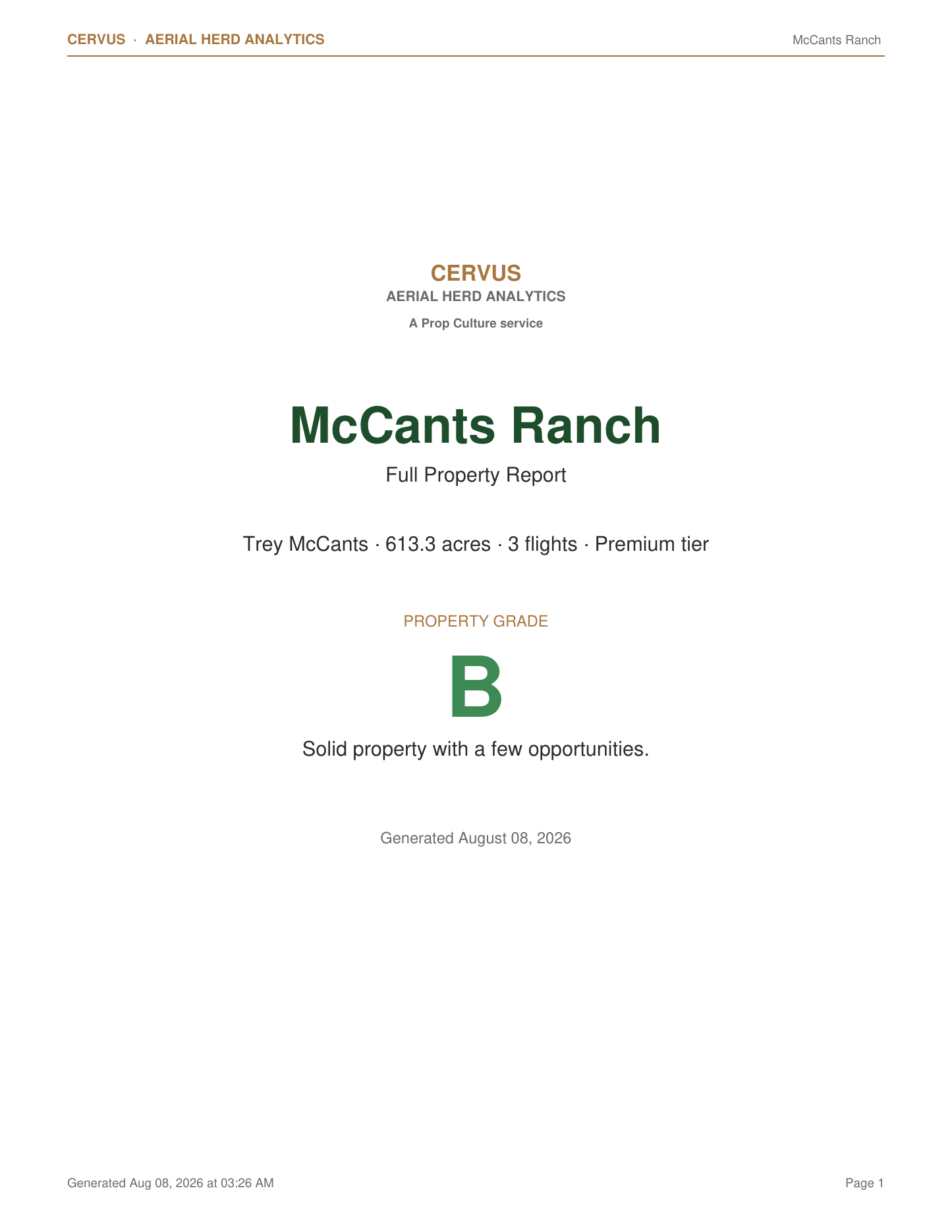
Every Cervus flight ends with a bound master report you can hand a hunter, a land manager, or a buyer. Real data. Zero guesswork.
Every deer detected and pinned to sub-meter accuracy. Bucks, does, and fawns identified on premium flights.
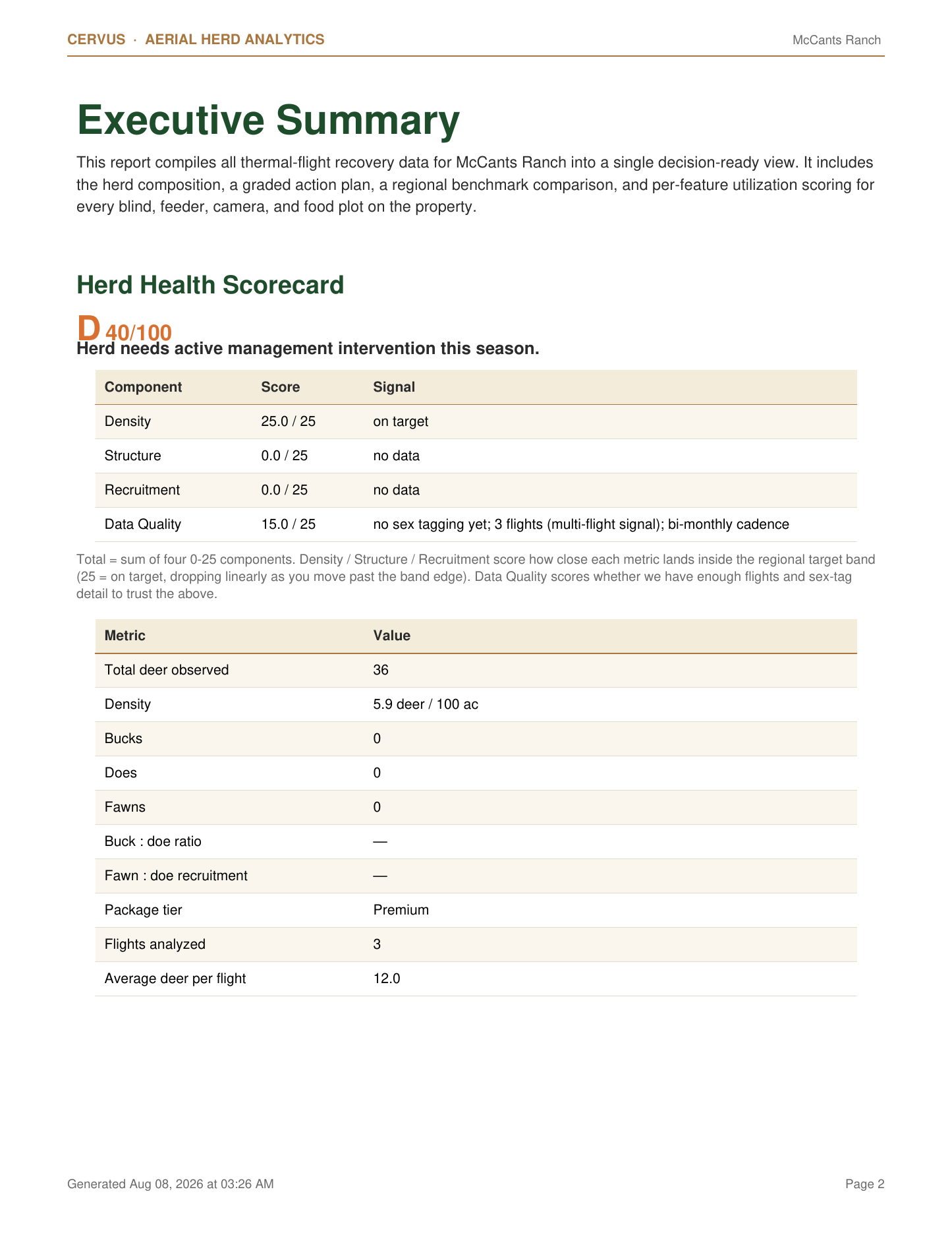
An A–F grade on density, herd structure, recruitment, and data quality — benchmarked to your soil region.
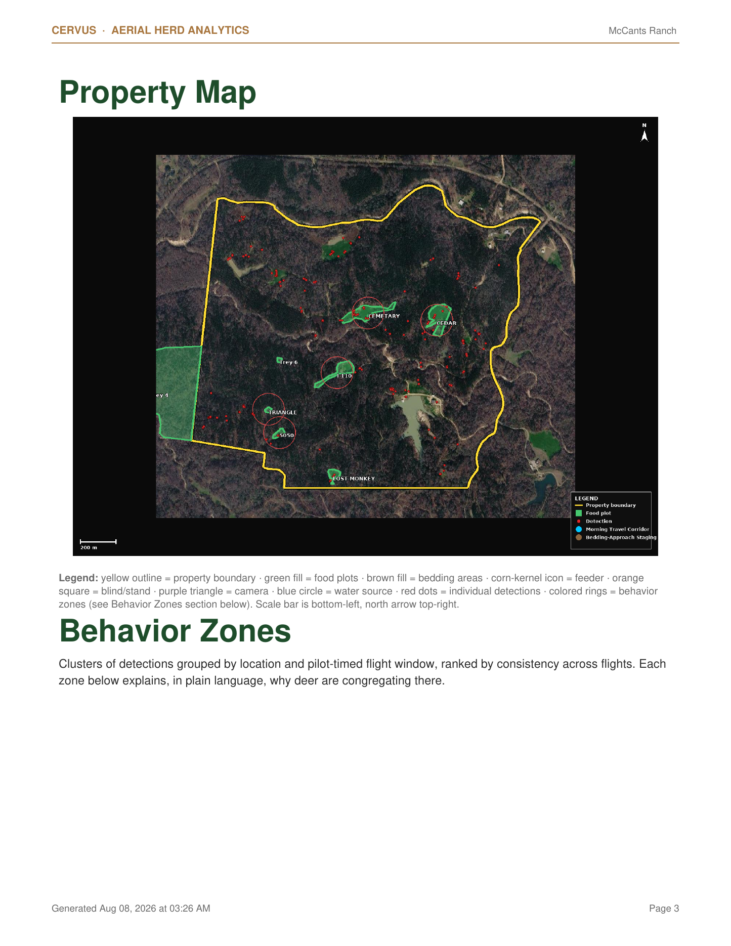
Named food plots, bedding, water, and travel corridors ranked by consistency across flights. Actual satellite map, actual pins.
Sample pages from a real Cervus flight report — property name removed for privacy. Every report is generated from your own property boundary and thermal detections, so nothing about it is generic or filler.
Tell us your acreage and your window. We book a morning or evening slot.
Drop your property boundary from onX or Google Earth. Everything downstream is named from that file.
Thermal drone at legal altitude, dawn or dusk, pilot-tagged. Every deer pinned in the moment.
PDF and interactive dashboard delivered within 24 hours. Yours to keep, share, and stack across seasons.
The best pre-season data comes 2–4 weeks before opening day. Call, text, or message us the property name and rough acreage and we'll get you on the calendar.
We fly a thermal grid over the property and pin every deer we detect. On a premium flight, we sex-tag each pin as buck, doe, or fawn. Property-level herd numbers use a sightability-corrected peak estimate — not a simple average — so a bad-weather flight can't drag your count down.
All of Mississippi and Louisiana — from the Delta down to the coast, and every county and parish in between. If you're just outside those two states, call anyway — we make exceptions for larger properties.
The flight itself is typically one morning or evening window depending on acreage. Your master report — PDF and interactive dashboard — is in your inbox within 24 hours of the flight.
Nope. As long as we have your boundary KML and gate access, we can fly and deliver without you on site. Most owners get the results before their morning coffee.
Yes — that's the whole point. Cervus stores every flight against your property and builds a season-long timeline of density, herd structure, and behavior. Three to five flights per year gives you the cleanest picture.